How Scientists Forecast Volcanic Eruptions: A Step-by-Step Guide
Introduction
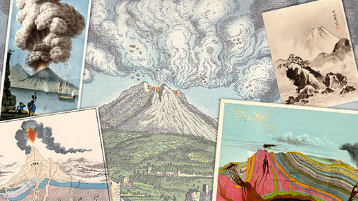
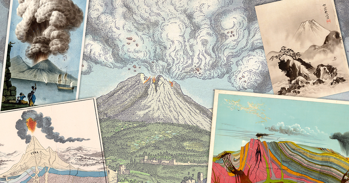
Forecasting volcanic eruptions is one of the most challenging and vital tasks in geoscience. Unlike weather prediction, which benefits from dense global networks and frequent updates, volcanoes are unpredictable and often poorly monitored. Yet, with advances in technology, scientists have developed a systematic approach to anticipate eruptions. This guide walks you through the key steps that volcanologists use to predict when a volcano might blow, using the 1991 eruption of Mount Pinatubo in the Philippines as a real-world example. By understanding these steps, you'll gain insight into why forecasts are improving but still remain imperfect.
What You Need
- Seismometers (to detect earthquakes and tremors)
- Global Positioning System (GPS) receivers or tiltmeters (to measure ground deformation)
- Gas spectrometers and sensors (to analyze sulfur dioxide, carbon dioxide, and other volcanic gases)
- Satellite imagery (for thermal, gas, and deformation monitoring from space)
- Historical eruption records and geological mapping data
- Computer models and data integration software
- Trained volcanologists and emergency response teams
Step-by-Step Forecasting Process
Step 1: Detect Seismic Unrest
The first sign that a volcano is waking up is usually an increase in seismic activity. Magma moving beneath the surface cracks rocks and causes small earthquakes. Scientists deploy seismometers around the volcano to record these events. For example, weeks before Pinatubo exploded in 1991, monitoring stations detected thousands of tiny earthquakes. The frequency, magnitude, and depth of these quakes help estimate how fast magma is rising.
Step 2: Measure Ground Deformation
As magma pushes up, it swells the ground above. Using GPS receivers and tiltmeters, scientists can detect changes as small as a few millimeters. At Pinatubo, the ground bulged by several meters in the months before the eruption. Deformation patterns indicate where magma is accumulating and how high the pressure is building.
Step 3: Analyze Gas Emissions
Magma releases gases such as sulfur dioxide, carbon dioxide, and hydrogen sulfide before it reaches the surface. These gases can be sampled from fumaroles or measured remotely using spectroscopy. A sudden increase in sulfur dioxide often signals fresh magma rising. Prior to Pinatubo's eruption, gas measurements showed a dramatic rise in sulfur dioxide output.
Step 4: Use Satellite Remote Sensing
Satellites provide a bird's-eye view of volcanic activity. Thermal sensors can spot hot spots from lava or heated rocks. Radar interferometry (InSAR) detects subtle ground movements over large areas. Gas satellites track sulfur dioxide clouds even in remote regions. For Pinatubo, satellite images later helped confirm the massive ash plume that spread across the globe.
Step 5: Integrate Data into Models
No single data channel is reliable on its own. Volcanologists combine seismic, deformation, gas, and satellite data into computer models that assess the probability of an eruption. These models consider magma supply rate, crustal stress, and historical behavior to produce an eruption timeline and style. During the Pinatubo crisis, scientists used a simple analog model comparing the current unrest to past eruptions.
Step 6: Study Past Eruptions
Geological mapping of old lava flows, ash deposits, and radiocarbon dating reveal how a volcano has behaved over centuries. This history helps gauge whether an eruption is likely to be explosive or effusive. Pinatubo's history showed major explosive eruptions every few thousand years, suggesting the 1991 event could be catastrophic.
Step 7: Issue Warnings and Evacuations
When several indicators point toward an imminent eruption, scientists issue alerts to civil authorities. The warning level system (e.g., green-yellow-orange-red) determines the response. Thanks to monitoring, over 60,000 people were evacuated from around Pinatubo, saving thousands of lives. Even with successful forecasts, uncertainty remains—volcanoes can stall, change style, or erupt without clear precursors.
Tips for Better Forecasting
- Maintain long-term monitoring: Continuous data over decades improves baseline understanding and anomaly detection.
- Invest in multidisciplinary teams: No single expert can interpret all signals; geologists, geophysicists, geochemists, and modelers must collaborate.
- Use redundant instruments: Volcanoes often destroy equipment during eruptions; having backup stations ensures data continuity.
- Simulate scenarios: Practice emergency drills using historical eruption data to refine response plans.
- Communicate clearly: Translate scientific findings into simple, actionable language for public officials and communities.
While we may never predict volcanic eruptions with the same precision as weather forecasts, the steps above have dramatically reduced casualties. The 1991 Pinatubo eruption remains a landmark success story, proving that with the right tools and vigilance, we can get ahead of nature's fury.